
Gale Warning covers Maine coastal and offshore waters through Tuesday evening
Update Wednesday October 7 at 6:35 PM EDT: NWS Caribou ME re-issued the Small Craft Advisory for Downeast Maine coastal zones (Eastport to Stonington) through Thursday, October 8 at 8:00 PM EDT. NWS Gray ME midcoast SCA (Stonington through Penobscot Bay to the Merrimack River MA) remains through the same expiration. Departure checks: weather.gov/car (Downeast) and weather.gov/gyx (midcoast and southern Maine).
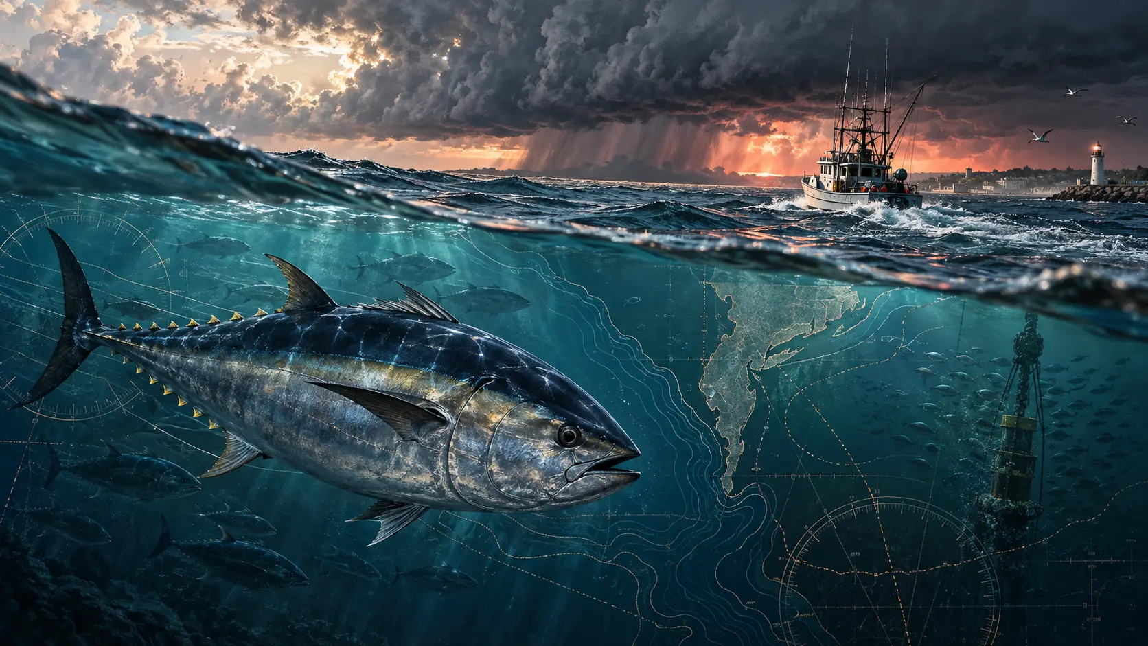
Update, Wednesday October 7 at 6:35 PM EDT: NWS Caribou ME re-issued the Small Craft Advisory for the Coastal Waters from Eastport ME to Schoodic Point ME out 25 nautical miles and the Coastal Waters from Schoodic Point ME to Stonington ME out 25 nautical miles. The evening re-issuance confirms advisory coverage through Thursday, October 8 at 8:00 PM EDT. This is the current active product for the two Downeast Maine coastal zones. Anglers planning Thursday departures from Eastport, Lubec, Cutler, Machias, or Jonesport should confirm the current zone products at weather.gov/car before leaving the dock.
Update, Wednesday October 7 at 2:28 PM EDT: NWS Gray ME re-issued the Small Craft Advisory for four midcoast Maine zones: Coastal Waters from Stonington to Port Clyde ME out 25 nautical miles; Penobscot Bay; Coastal Waters from Port Clyde to Cape Elizabeth ME out 25 nautical miles; and Coastal Waters from Cape Elizabeth ME to Merrimack River MA out 25 nautical miles. This afternoon re-issuance confirms advisory conditions remain active through Thursday, October 8 at 8:00 PM EDT. October brings school bluefin tuna and striped bass within reach of midcoast and Penobscot Bay ports; Thursday departures from Rockland, Port Clyde, and Tenants Harbor should pull the current zone forecast at weather.gov/gyx before leaving the dock.
Update, Wednesday October 7 at 1:58 PM EDT: NWS Caribou ME issued a Small Craft Advisory for the Coastal Waters from Eastport ME to Schoodic Point ME out 25 nautical miles and the Coastal Waters from Schoodic Point ME to Stonington ME out 25 nautical miles, expiring Thursday, October 8 at 8:00 PM EDT. These are the same two Downeast coastal zones that held the Gale Warning earlier this week. The earlier 1:32 AM EDT Caribou advisory, noted below, expired at 2:45 AM EDT Wednesday. This afternoon issuance extends advisory conditions through Thursday evening. Anglers planning Thursday departures from Eastport, Lubec, Cutler, Machias, or Jonesport should pull the current NWS Caribou zone products at weather.gov/car before leaving the dock.
Update, Wednesday October 7 at 2:48 AM EDT: NWS Gray ME issued a Small Craft Advisory for four midcoast Maine zones: Coastal Waters from Stonington to Port Clyde ME out 25 nautical miles; Penobscot Bay; Coastal Waters from Port Clyde to Cape Elizabeth ME out 25 nautical miles; and Coastal Waters from Cape Elizabeth ME to Merrimack River MA out 25 nautical miles. The NWS issuance headline runs this advisory through Thursday, October 8 at 8:00 PM EDT. These zones cover the Penobscot Bay corridor from Vinalhaven and Rockland north through Camden and Belfast, the midcoast from Tenants Harbor through Port Clyde, and the southern Maine coast through Portland and Kittery. October puts school bluefin tuna and striped bass within reach of midcoast ports; the Penobscot Bay and Stonington-to-Port Clyde offshore zones are primary grounds for Rockland, Port Clyde, and Tenants Harbor departures. Midcoast and southern Maine anglers planning Wednesday or Thursday departures should confirm the current advisory status at weather.gov/gyx before leaving the dock.
Update, early Wednesday October 7: NWS Caribou ME issued a Small Craft Advisory for the Coastal Waters from Eastport to Schoodic Point out 25 nautical miles and the Coastal Waters from Schoodic Point to Stonington out 25 nautical miles. The advisory was issued at 1:32 AM EDT and expires 2:45 AM EDT Wednesday. These are the same two coastal zones that held the Gale Warning through Tuesday. Anglers planning a Wednesday departure from Downeast or midcoast Maine ports should pull the current zone forecast from NWS Caribou at weather.gov/car after 2:45 AM EDT to confirm no active advisory or warning is in effect before leaving the dock.
Update, October 6 at 12:52 AM EDT: NWS Caribou ME reissued the Gale Warning for all four zones. Coastal zones out 25 nautical miles (Eastport to Schoodic Point, and Schoodic Point to Stonington) now expire at 2:00 PM EDT Tuesday, October 6. Offshore zones from 25 to 60 nautical miles, including waters to the Hague Line, remain in effect through 5:00 PM EDT Tuesday. The Small Craft Advisory for Intra Coastal Waters from Schoodic Point to Stonington continues through 8:00 PM EDT Tuesday. The original 7:35 PM EDT Monday issuance has been superseded.
NWS Caribou ME issued the original Gale Warning at 7:35 PM EDT Monday for four zones along the eastern Maine coast: Coastal Waters from Eastport to Schoodic Point out 25 nautical miles, Coastal Waters from Schoodic Point to Stonington out 25 nautical miles, and the corresponding offshore zones from 25 to 60 nautical miles, including waters to the Hague Line in the north. NWS Caribou also issued a Small Craft Advisory for the Intra Coastal Waters from Schoodic Point to Stonington, active through 8:00 PM EDT Tuesday.
A Gale Warning means sustained winds of 34 to 47 knots, or gusts in that range, are forecast. Exact wind and wave forecasts for each zone are in the NWS Caribou marine zone products at weather.gov/car. NWS instruction for mariners in an active Gale Warning: remain in port or seek safe harbor.
October brings striped bass in fall migration through Downeast and midcoast Maine waters, with school bluefin tuna still in range of eastern Maine ports through the first weeks of the month. The warning and Small Craft Advisory cover all zones from Eastport through Stonington through Tuesday evening. Wednesday is the first potential departure window from these ports, but wave heights and residual swell can outlast a warning; the NWS zone forecast update after Tuesday evening is the pre-launch check.
This is a conditions notice, not a go/no-go recommendation for any vessel. The controlling source is the current NWS Caribou marine zone forecast at weather.gov/car. Zone text forecasts, tide information, and active warnings are updated there.
On the water: Rules and conditions can change quickly. Confirm current regulations and official marine forecasts for your exact trip.