
Atlantic tropics: the planning signal matters before the cone does
A disturbance does not need a name to alter an offshore plan. Here is the official-data chain worth watching.
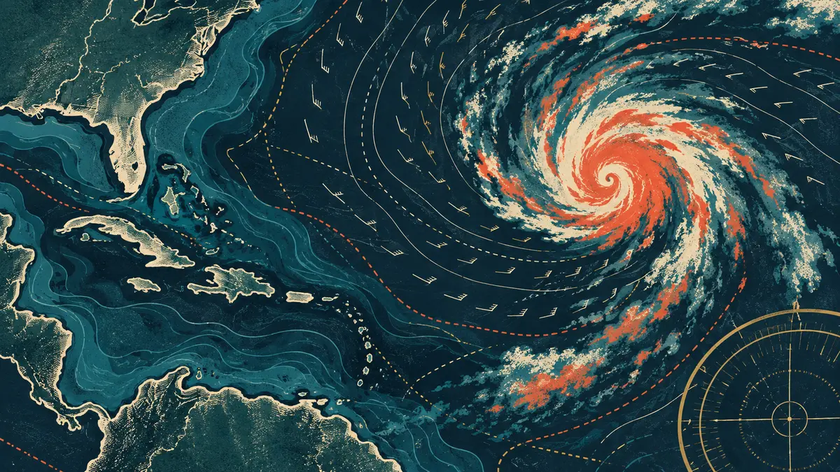
The National Hurricane Center is the controlling source for tropical outlooks and advisories. For an offshore crew, the useful question is not just whether a system will become a named storm; it is whether swell, wind, inlet conditions, and the return window are changing faster than the trip plan.
Start with the Atlantic Tropical Weather Outlook, then compare the relevant coastal or offshore forecast from the National Weather Service. Treat social posts and model screenshots as prompts to check official information—not as forecasts.
This page is editorial context, not a marine forecast. Before leaving, use current NWS/NHC products, local notices, and the judgment of a qualified captain.
On the water: Rules and conditions can change quickly. Confirm current regulations and official marine forecasts for your exact trip.